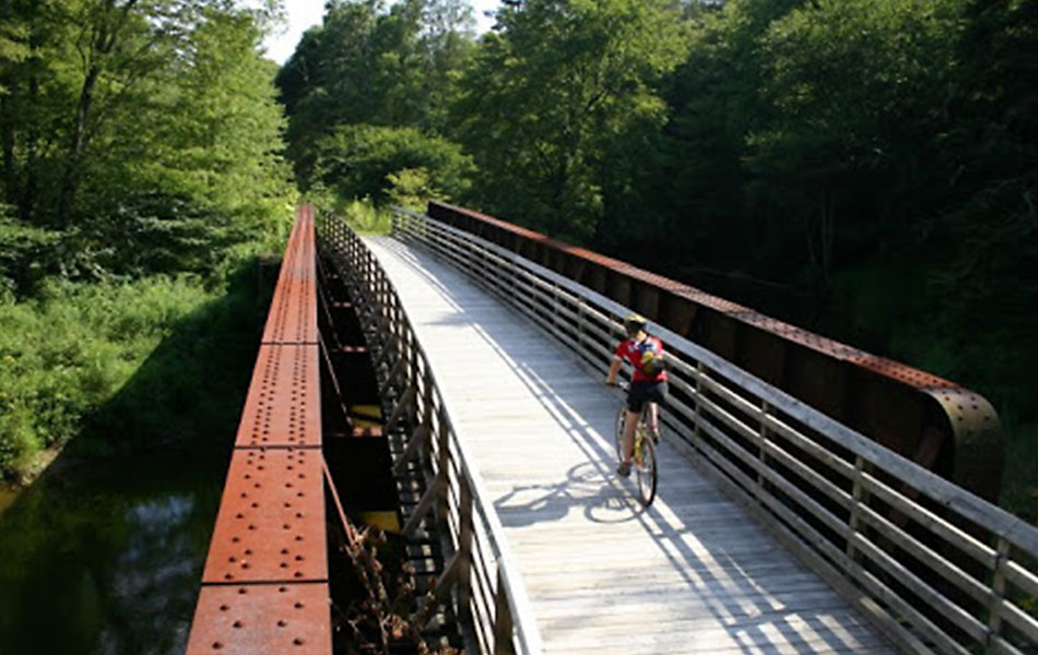
Your Journey Starts Here

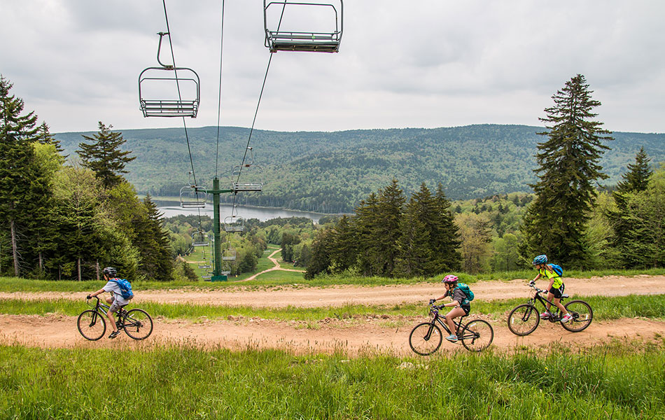
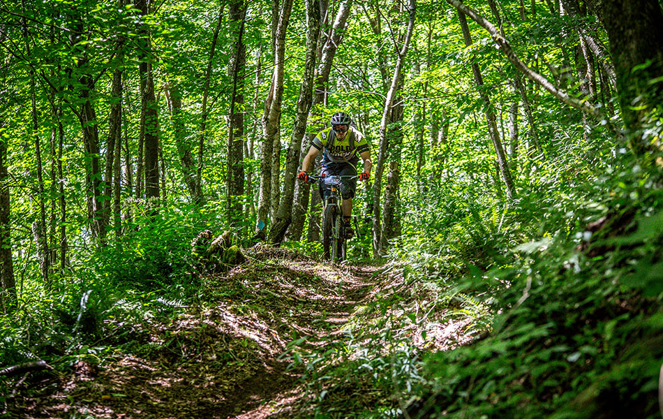
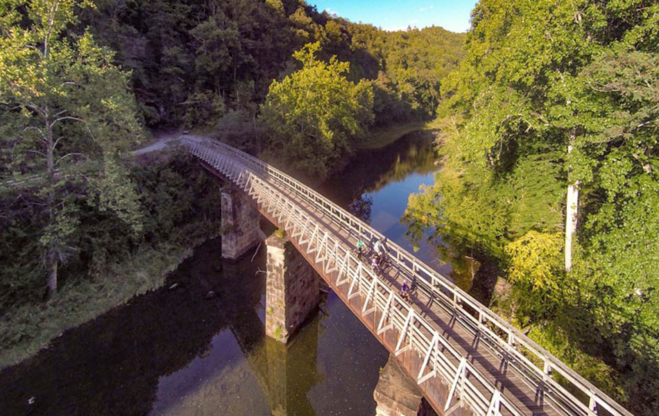
The Snowshoe Highland Ride Center boast over 375 miles of trails that are open to bikes! Whichever route you choose, you’ll be traveling through rugged terrain that has challenged generations of “mountaineers” before you. Much of our amazing biking is made possible by the vast amount of public lands in this county which include five state parks, two state forests, and a large portion of the Monongahela National Forest.

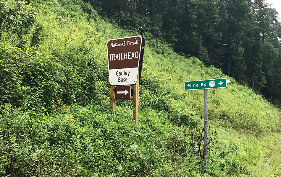
We’ve outlined eight of the best areas to ride in Pocahontas County here on this page, plus inclusion of an interactive map from the Trailforks.com. Use these resources along with a copy of our “Ride Snowshoe Highlands” trail guide to help plan your next trip.

Snowshoe Highlands Trails

Trail mapping is provided through a partnership with the West Virginia University Extension Service.
Explore the full featured map at monforesttowns.com

cover

Get your copy of the official trail guide

Grab your snowshoe highlands Ride center map includes descripton and detailed map for the eight most popular riding area

Popular Rides

West-Fork

West Fork Rail Trail

Experience the solitude and beauty of the West Fork of the Greenbrier River as you enjoy this 22-mile long trail. Your ride will be primarily smooth and flat as you journey between the mountain towns of Glady and Durbin. This former railroad grade allows riders to easily escape deep into the Monongahela National Forest.

Gauley-Headwaters

Tea Creek – Gauley Headwaters

This area is old school with hand cut trails, old rail beds and skid grades, roots, technical rock gardens, steep climbs, and thrilling descents. Hardwood and spruce forests, moss covered rocks, rhododendron tunnels, creeks, and scenic vistas make this some of the most challenging riding in West Virginia!

Snowshoe

Snowshoe Mountain

When the snow melts, Snowshoe Mountain transforms into one of the top bike parks in the country. There is something for everyone from true beginners to World Cup downhill racers, and all the varying levels of gravity-fiends in between. It’s a great place to get into the sport as it offers both bike rentals and lessons.

Ryder-Gap

Ryder Gap to Paddy Knob

Looking for some gravel? This is it! Traverse the ridgeline that marks the border between West Virginia and Virginia. The climbs are steep and challenging, but you’ll enjoy the rewards of stunning mountain views and long descents. This area is remote, so be on the lookout for wildlife.

Kennison

Kennison Mountain

With miles of moderate to technical trails, gently graded Forest Roads, and the steeps of Kennison Mountain, this area is a biking dream! These routes allow you to not only bike along the boundary of the largest Forest Service owned wilderness east of the Mississippi, but to also bike around the unique Cranberry Glades.

Greenbrier-river-trail

Greenbrier River Trail – Sharp’s Tunnel

Follow the winding railroad grade and soak in the views of the Greenbrier River. On this ride you will find a real treasure – Sharp’s Tunnel. Spanning 511 feet, Sharp’s Tunnel was engineered to allow trains to travel through the mountain! Marvel as you ride through the cool darkness of the tunnel or turn on a light to guide your way.

Green-Bank

Green Bank Observatory

This location is out of this world! Expand your universe as you ride past the world’s largest steerable telescope. You can even explore the distance between planets as you pass a model solar system. The site, surrounded by the mountains of West Virginia, serves to protect observations while offering a one-of-a-kind riding experience.

Cheat

Cheat Summit

This area was heavily logged and mined for coal before it was purchased by the U.S. Forest Service. Explore the continuing restoration of this high elevation area as you ride the newly developed stacked loop trail system. The views are spectacular and the restoration work is inspiring!

Ride Responsibly